

Impressions from the Geospatial, Hydrometeorological and GNSS (GEOMETOC) Workshop 2016
25.11.2016
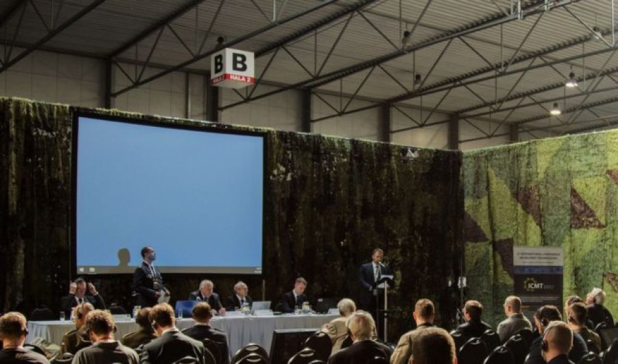
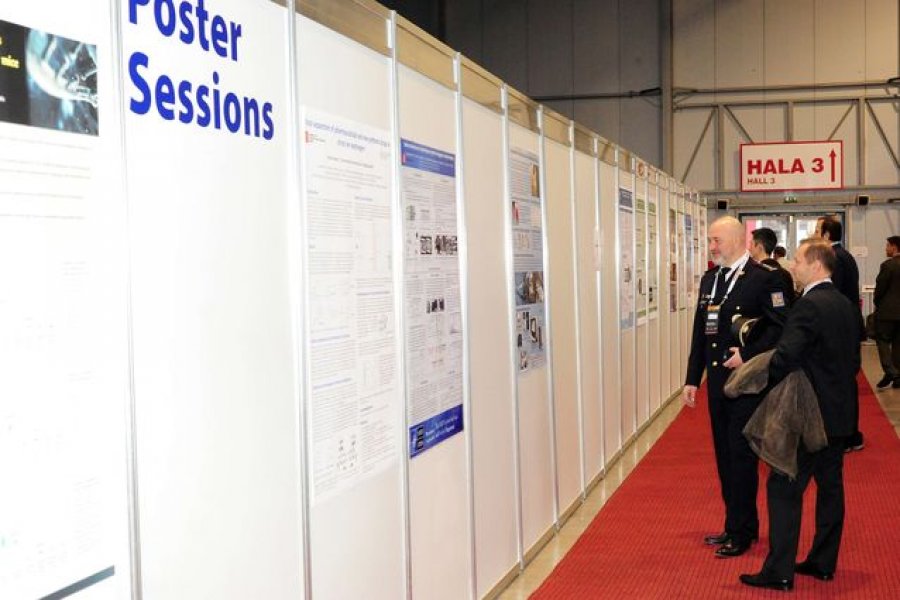
FUTURE FORCES FORUM (FFF), the most important defence and security event in the Czech Republic, was held at the PVA EXPO PRAHA Exhibition Centre between October 19 and 21, 2016. The programme included a traditional international exhibition, conferences and workshops with the topics oriented mainly to modern technologies and approaches in ensuring defence and security at both national and international levels, future needs of armed and security forces, and protection of population and critical infrastructure. Representatives of the government, state administration authorities, international organizations, industry, science and research were actively participated in the event.
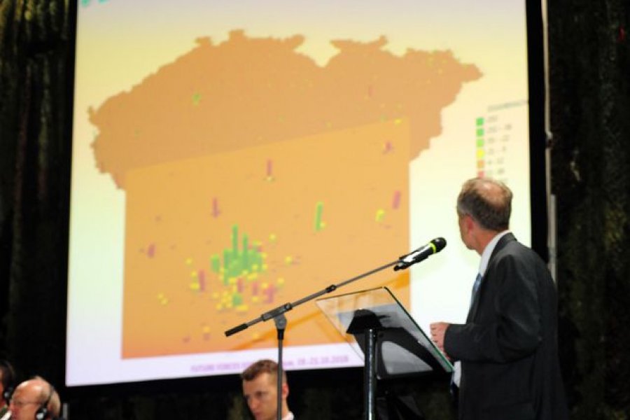
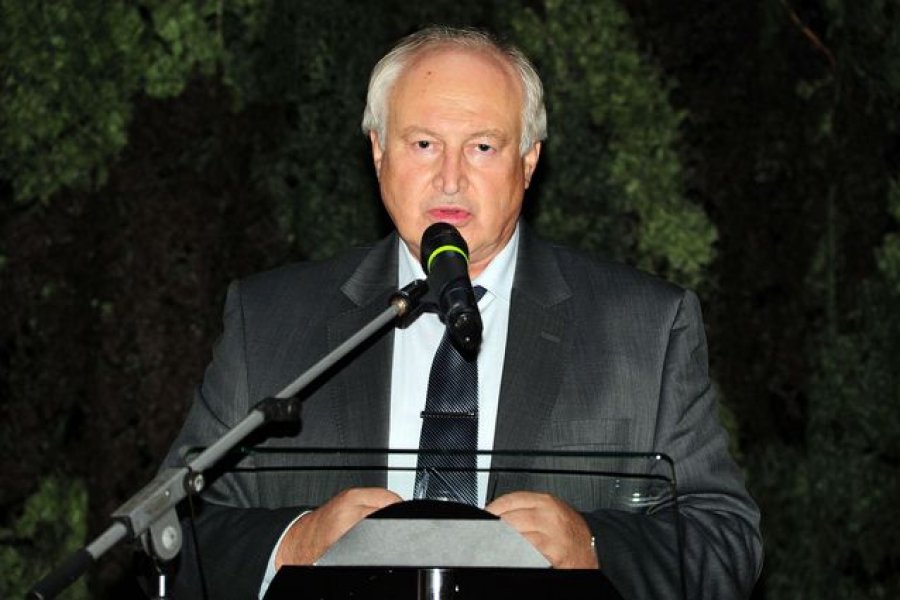
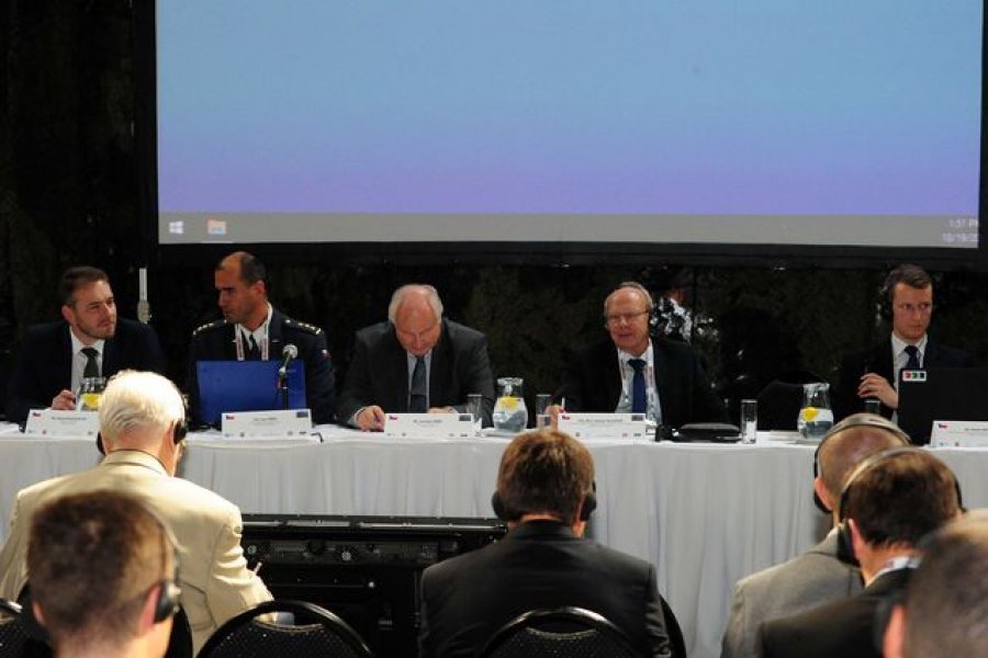
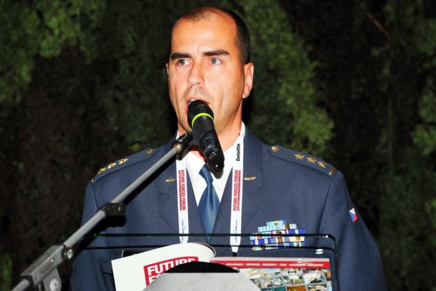
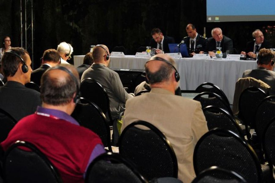
The expert part of the Future Forces Forum 2016 included a three-day international workshop focused on geographic and hydro-meteorological support of armed forces and integrated emergency management system, "Geospatial, Hydrometeorological and GNSS Workshop" (GEOMETOC), chaired by Colonel Jan Círek, Chief of the Hydrometeorological Service of the Army of the Czech Republic, and organized in close cooperation with lecturers of the Department of Military Geography and Meteorology of the Faculty of Military Technologies of the University of Defence in Brno, namely Colonel Vladimír Kovařík, Lieutenant Colonel Josef Novotný, Associate Professor Václav Talhofer, and Radovan Klíma, a representative of the National Security Authority.
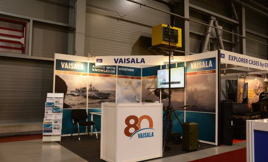
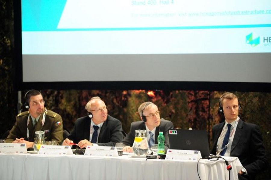
The main commercial partner of GEOMETOC was the company HEXAGON Safety & Infrastructure.
![]()
The event, during which altogether 34 presentations of lecturers from 5 countries and 2 international institutions (EASA, EU Satellite Center) were delivered, was focused on four principal areas, namely:
- Geospatial Information for State Security Forces and Organizations
- Geospatial Support to National Defence and Crisis Management
- Modern Trends in the Meteorological and Hydrological Support of Armed Forces and Government Performance
- Global Navigation Satellite Systems (GNSS) Future Challenges and Opportunities
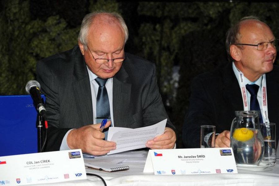
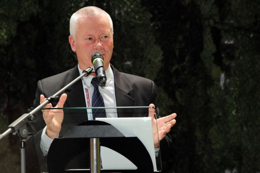
The workshop was opened by representatives of government authorities, including Kamil Rudolecký, Deputy Minister of Transport of CR, Jaroslav Šmíd, Deputy Director of the National Security Authority and Václav Dvořák, Director of the Czech Hydrometeorological Institute. All of them agreed on the necessity to utilize modern approaches in the field of geographic and meteorological support of integrated rescue and management systems, particularly in traffic control. They also mentioned potential threats to provision of position services both in everyday life and in non-standard situations and emergencies as a result of a disruption of GNSS systems.
The first block, dedicated to development trends in the field of geospatial data in support of national defence, featured five presenters, two of them from abroad. All of them mentioned the necessity of close cooperation between civilian and military organizations dealing both in building up source databases and in practical applications, such as crime prevention or risk analyses of natural hazards. They also emphasized the need to standardize the data in order to ensure effective cooperation of partners from different departments and areas in dealing with common problems and tasks.
The second block was focused on geographic support of military and civil command and control systems and its opening part was dedicated to tasks at the strategic level – from geographic services provided within the common European defence policy to the development and building of information infrastructures for the purpose of defence against disasters. The second part included presentations of case studies on a verification of functionality of terrain possibility models or on an evaluation of flash flood risks using data provided by radar sensors.
Meteorological and hydrological support of operations of armed forces and integrated rescue and disaster-relief systems is an integral part of the entire army command system, but of the whole area of crisis management as such. These issues were covered in the third block, the opening part of which stressed the indispensable international aspect of meteorological support of all activities related to effective and successful conduct of (not only) military operations. Questions pertaining to the system of education and professional training in the field of meteorology were presented for discussion. The second part of the panel was dedicated to different selected technical issues with a practical effect on meteorological support of various elements of integrated rescue and disaster-relief systems and armed forces.
Global Navigation Satellite Systems (GNSSs) have become a common part of everyday life of people and the whole society, and users take the PVT information provided by these systems for granted. The main purpose of the last block of GEOMETOC was thus to present current threats resulting from vulnerability of the GNSS services and subsequently make end users to start evaluating potential adverse impacts resulting from unavailability of critical PVT information on their systems and applications. The presentations that were delivered during this block also identified potential solutions preventing a catastrophic loss or unavailability of source PTV information provided by GNSSs, particularly as regards its use in national critical infrastructure and other crucial and sensitive systems supporting the functioning of state administration and integrated rescue and disaster-relief systems.
Overview of the GEOMETOC programme, speakers and presentation abstracts are available in the Future Forces Forum Catalogue 2016, published under the ISBN Number 978-80-270-0168-2 and on the www.future-forces-forum.org.


-
18.04.2024
NIDES se představí na Future Forces 2024
-
15.04.2024
Ministryně obrany poskytla záštitu projektu FFF 2024
-
10.04.2024
Exkluzivní inovační workshop “Jak na efektivní transfer znalostí a technologií?"
-
03.04.2024
GLENAIR to exhibit at Future Forces 2024
-
15.03.2024
Bezpečnostní konference SCADA Security
-
12.03.2024
Future Forces Forum se koná pod záštitou předsedy vlády České republiky
-
08.03.2024
AVEC CHEM se představí na Future Forces 2024
-
01.03.2024
SPEEL PRAHA s.r.o. se představí na Future Forces 2024
-
19.02.2024
KATEDRA ZDRAVOTNICKÝCH OBORŮ A OCHRANY OBYVATELSTVA, ČVUT V PRAZE se představí na Future Forces 2024
-
09.02.2024
DOK-ING to Exhibit at Future Forces 2024
-
02.02.2024
DJI TELINK se představí na Future Forces 2024
-
30.01.2024
Profesor Lerner z Harvardu: Státní podpora venture kapitálu musí být nezávislá na politických vlivech
-
26.01.2024
Hlavní myšlenky a výstupy z konference „Budování státu: inovace, nebo stagnace?“
-
19.01.2024
MBDA to exhibit at Future Forces 2024
-
03.01.2024
Pozvánka na konferenci Budování státu: inovace, nebo stagnace?
-
21.12.2023
PF 2024
-
14.12.2023
VRGINEERS se představí na Future Forces 2024
-
07.12.2023
THERMVISIA se představí na Future Forces 2024
-
30.11.2023
TASMANIAN TIGER to exhibit at Future Forces 2024
-
29.11.2023
Technologické trendy do roku 2043 a tvorba nových bezpečnostních schopností České republiky
-
23.11.2023
TOVEK se představí na Future Forces 2024
-
13.11.2023
Milipol Paris 2023
-
06.11.2023
AERO VODOCHODY se představí na Future Forces 2024
-
27.10.2023
Pozvánka na 3. ročník konference Má mozek ještě šanci?
-
24.10.2023
Záznam panelové diskuse na téma Aktuální trendy v oblasti KB - umělá inteligence a KB
-
19.10.2023
Záznam panelové diskuse na téma OT bezpečnost - bezpečnost nejen průmyslových podniků
-
17.10.2023
Záznam panelové diskuse na téma NIS2 a praktické zkušenosti z implementace
-
09.10.2023
TTC TELEKOMUNIKACE se představí na Future Forces 2024
-
03.10.2023
Známe vítěze prvního ročníku soutěže KYBER CENA ROKU
-
29.09.2023
Tři panelové diskuse Future Cyber Defence
-
25.09.2023
CNM textil se představí na Future Forces 2024
-
20.09.2023
Konference Future Air Force poukázala na výzvy v rekrutaci a výcviku pilotů
-
14.09.2023
Konference Future Air Force 2023 přilákala delegace vzdušných sil z 24 zemí
-
06.09.2023
3rd Future Air Force Conference will Host 29 National Delegations
-
29.08.2023
SECURITY BUNKERS ALLIANCE - odborníci na podzemní bunkry se představí na Future Forces 2024
-
22.08.2023
NUVIA se představí na Future Forces 2024
-
14.08.2023
Dovozce a distributor taktické obuvi VM Footwear se představí na Future Forces 2024
-
04.08.2023
LV EQUIPMENT se představí na Future Forces 2024
-
19.07.2023
GUMÁRNY ZUBŘÍ se představí na Future Forces 2024
-
12.07.2023
EUROLAMP se představí na Future Forces 2024
-
03.07.2023
SAFETY DEVICES International se představí na Future Forces 2024
-
08.06.2023
Early Bird nabídka pro vystavovatele jen do 30. června!
-
07.06.2023
Magazín Counter-IED Report - mediální partner FFF
-
01.06.2023
Pozvánka na konferenci Ochrana měkkých cílů
-
30.05.2023
Konference Vnitřní bezpečnost a odolnost státu zdůraznila důležitost spolupráce a udržení stability bezpečnostního sektoru
-
23.05.2023
Pozvánka na bezpečnostní semináře
-
11.05.2023
1. díl ze seriálu konferencí Vnitřní bezpečnost a odolnost státu
-
05.05.2023
1 mld EUR z programu ASAP na podporu dodávek munice a raket
-
28.04.2023
NAMMO se představí na Future Forces 2024
-
20.04.2023
V Náměšti bude jediný a nejmodernější simulátor systému H-1 v Evropě